


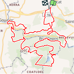

21 km | 24 km-effort

Benutzer


Kostenlosegpshiking-Anwendung
 SityTrail
IGN / Geografische Institute
SityTrail World
Die Welt öffnet sich für Sie
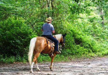
Tour Pferd von 34 km verfügbar auf Bretagne, Côtes-d'Armor, Bon Repos sur Blavet. Diese Tour wird von tracegps vorgeschlagen.
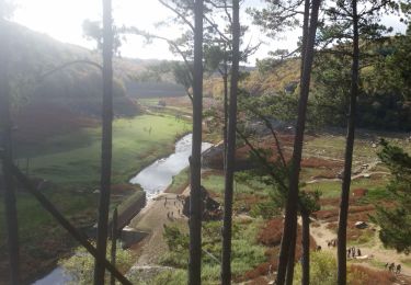
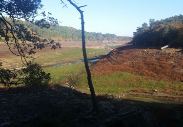
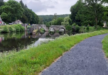
Pays de Guerlédan Ce circuit est fermé pendant la période de chasse, du 24 septembre au 1er mars. Après un bout de goudron en guise d’échauffement, vous trouvez tout de suite la descente vers Bon Repos : c’est un beau sentier réhabilité par « les papys de l’Aceca » et la commune de Laniscat, admirez la superbe vue sur les gorges du Daoulas…… La suite du récit est ICI Balade proposée par les Cavaliers d’Extérieur des Côtes d’Armor

Zu Fuß
Wandern
Wandern
Wandern
Wandern
Wandern
Wandern
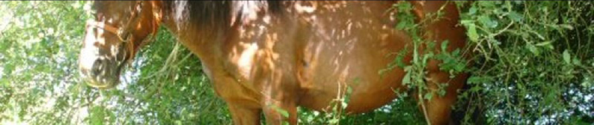
Pferd

Auto